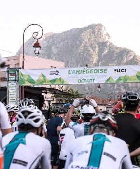


The Ariège has many MTB circuits (in addition, 3 are labeled FFC) from the easiest to the most advanced, ranging from family walks to sports courses. In total, it is more than 1 km, or nearly 460 mountain bike routes, 75 ways to have fun on a bike, and get a taste of adrenaline!
top of our favorite tours
- Les Cascades - 10.1km + 300m (red) - Cathar Pyrenees Area (FFC)
The upper Douctouyre valley offers a sporty mountain bike where the courses in the undergrowth give a particular charm, almost mysterious to the hike!
???? More information
- Around the Lac de Montbel – 15.3km – + 430 m (red) – Espace Pyrenees Cathares (FFC)
This mostly shaded circuit will give you the opportunity to practice your technique along the banks and your speed if you feel like it. Both sporty for thrill-seekers and peaceful for strollers, this loop offers you a 360 view of Lake Montbel. As beautiful as it is fun, this tour of the lake is a "spot" for mountain biking.
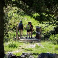
📍 Discover Caroline’s experience on her Family mountain bike outing on the fun Montbel trail, a real treat between panorama of the Tabes massif and the lake and its beautiful turquoise color 👉🏼 Read the article
???? More information
- The slopes of Castex - 15km + 430m (blue) - Mas d'Azil mountain bike area
The fairly severe climb from the start will quickly be forgotten by the beauty of the paths taken and the landscape of the Pyrenees. You will not forget the beautiful descent bringing you back from the village of Castex to Barraca!
???? More information
- Filheit lake tour – 14 km + 300 m (blue) – Mas d’Azil mountain bike area
This easy circuit will take you to the shores of Lake Filheit which you will go around and which does not present any great technical difficulty. The path, on the south side of the lake, will make you discover the wild side of this body of water where the fauna, which you will discover at the bend of a meander, feels protected there. Be careful to walk in dry weather the path can be very greasy (clay soil) in wet weather.
???? More information
- The End of the Forest Trail - 8.3km + 340m (red) - Couserans Pyrenees mountain bike area (FFC)
A short and sporty circuit with a splendid route on the highest ridges of the canton which will offer you a fabulous view on the Pyrenean chain and a mosaic of landscapes all the more tasty in autumn and spring.
???? More information
- The Enduro du Souroque – 15.5 km +805m (red) – Couserans Pyrenees mountain bike area (FFC)
Downhill Enduro course, many passages in forests and single tracks: a perfect menu for riders looking for sensations!
???? More information
- Miglos rock – 21 km + 830 m (red) – Espace Vallées d’Ax (FFC)
The climb up to the rock of Miglos is quite long and allows you to warm up your calves well for an arrival with a magnificent panorama. The descent is seriously worth it!
???? More information
- In the heart of Terrefort – 48.5 km + 1070 m – Portes d’Ariège Pyrenees mountain bike area
For confirmed mountain bikers, this circuit will take you to Terrefort where you will travel through valleys and hills. Whatever the season, it will offer you breathtaking landscapes and views. You will pass near typical villages such as Bonnac (XNUMXth century) and Saint-Martin-d'Oydes (XNUMXth century fortified enclosure, listed). A circuit that you will undoubtedly appreciate for its technicality in a magnificent setting.
???? More information
Did you know?
The Couserans mountain biking area offers enduro mountain biking and electric mountain biking itineraries!
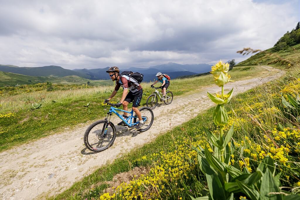
The tour of the couserans gates
This route will take you from one valley to another while discovering the great riches of the territory of the Portes du Couserans. Loop that can be done in several stages (for a weekend or over three days) or over a day for the more experienced (marathon mountain bikers). An adventure with exceptional landscapes thanks to their panoramas, and ideal stopover villages to regain strength (restaurants, accommodation).
It also makes it possible to connect all the circuits of the mountain bike area while using single-track technical trails, cart tracks or more rolling sections.
Average duration : 2 3-days
Total distance: 116.73 km – 70% paths and 30% roads
Max elevation: 693m
Minimum altitude: 297m
Total positive elevation: 3429m
> More information
Information from the office of tourism Couserans Pyrenees
Discover all the mountain biking areas
Ariège Pyrénées Tourisme favors short circuits. Reservations made on this site are sent directly to tourist service providers without any intermediary*.
No commission on sales is charged to either the buyer or the seller*.


Next
Previous


3