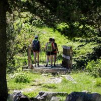
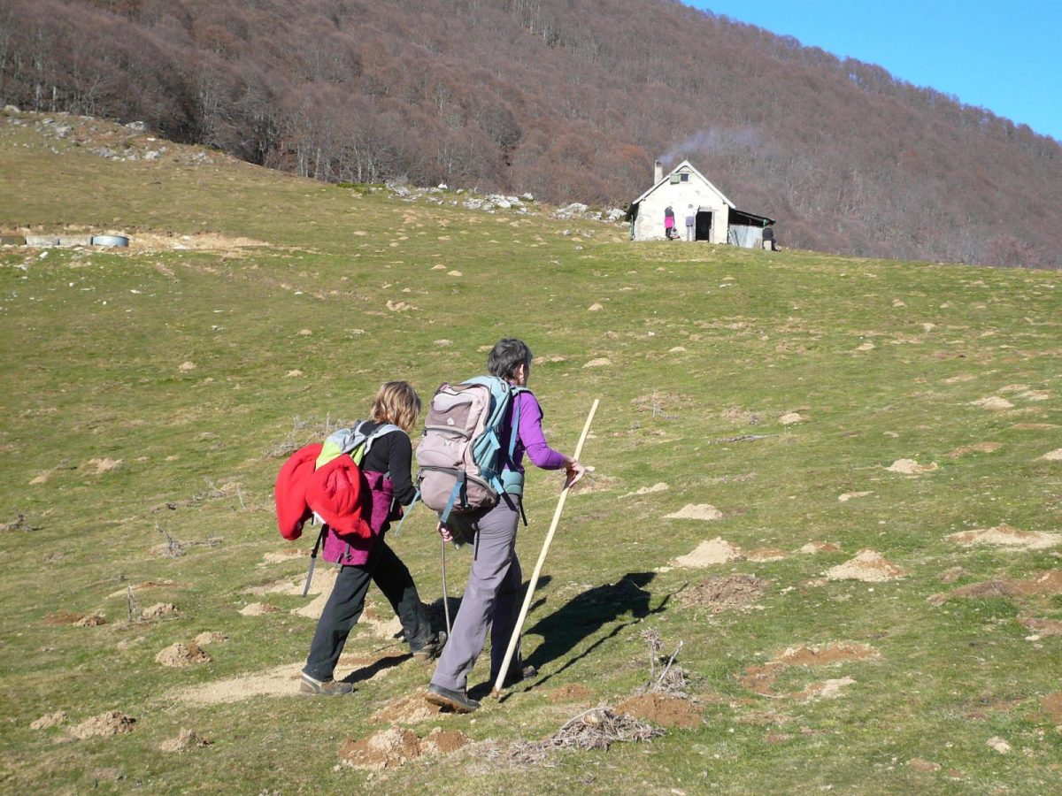
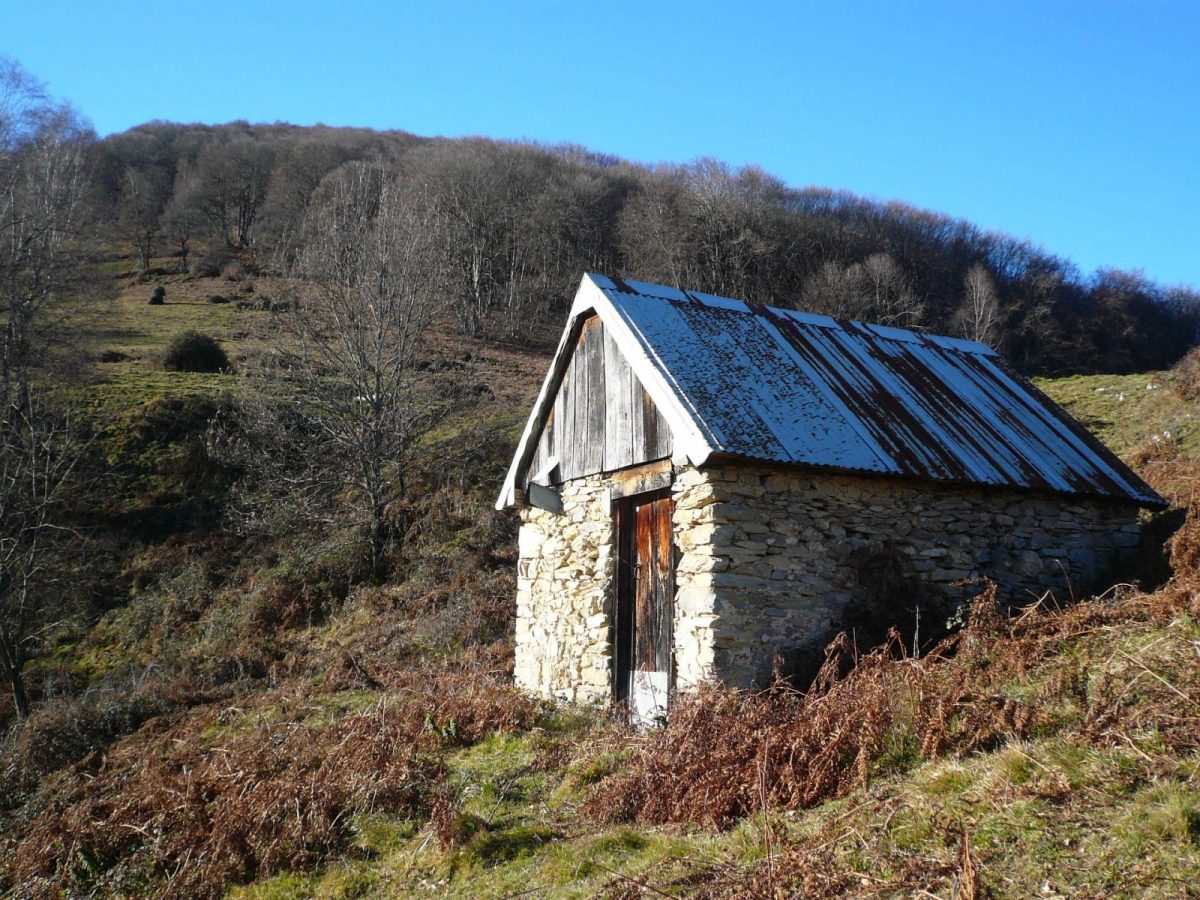
Nice hike where you will discover several Castillonnais villages through meadows and beech forest.
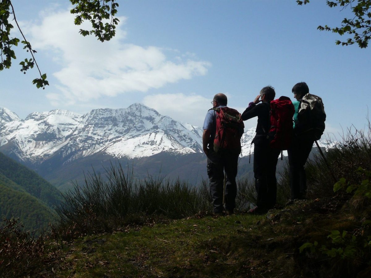
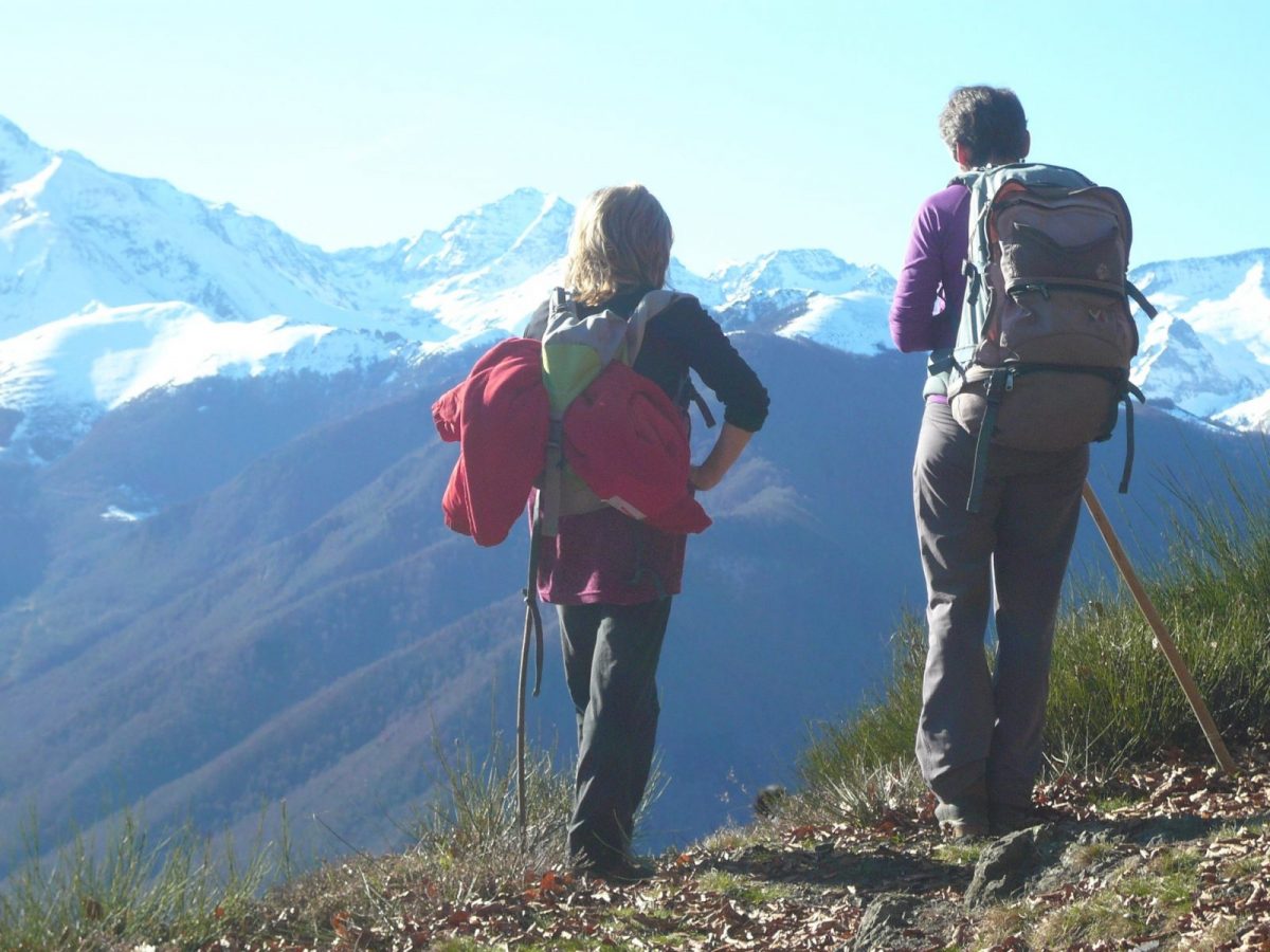
A changing panorama and its apogee: the grandiose view of the chain when you arrive on the southern slope of Biros.

At Castillon take the D4 towards Sentein, before leaving Castillon, turn right on the D904 to the village of Salsein-d'en-haut.

Additional Information :
You are in the heart of the Ariège Pyrenees Natural Park.

We encourage you to adopt responsible behavior in this fragile and shared environment.

- Stay on the trails and take your waste with you.

- Observe the flora without picking it.

- Stay discreet, for wild animals.

- In summer pasture areas, remember to close fences and gates. Do not approach or feed the animals. If a Patou (a livestock protection dog) approaches you, move away slowly and calmly. Do not make large gestures or shout, even if it barks, as it will consider you a threat. If it follows you, ignore it.

- Swimming in lakes is not recommended. Sunscreen (even organic!) and other cosmetics are a source of pollution in this fragile environment.

- Bivouacking is permitted, but only between 19 p.m. and 9 a.m., and more than an hour's walk from a parking lot.

- During periods of drought, all fires are prohibited. In other cases, fires are only permitted more than 200 meters from a forest. Stoves should be used instead of natural fireplaces.

- In the unlikely event of an encounter with a bear (which will try to avoid us at all costs): approach calmly, move away gradually, and do not run.

Ranking & labels

  • Circuits of France_circuits
  • Registered with the PDIPR

Location

Couserans Pyrenees

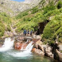
On the western part of Ariège, the Couserans and its 18 valleys is a vast territory divided between high mountains, mountains and [...]

Discover

You may also like...

Your itinerary

Map List
Download
Download kml

1 - Departure of the hike

At the start we follow a track.
After an hour you come out into an open meadow where you will notice a cabin below. You have to continue on the track which climbs in laces to turn into a path to leave the forest and change slope (1h40).

2 - Col de l'Arraing

Continue on this balcony path to find the Col d'Arraing (2h40).

3 - Houga pass

For the return, cross the pass due north to find the markup which descends into the forest to reach the Col de Houga (3h50).

4 - End of the hike

We leave the track by diving due east to find the starting point (4h05).