


The Peak of Fonta
Elevation 820 D +
- Departure 09140 Couflens
- LOOP
- Beacon(s) BALISE
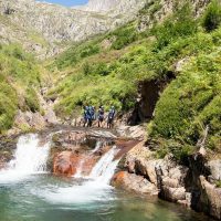
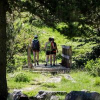
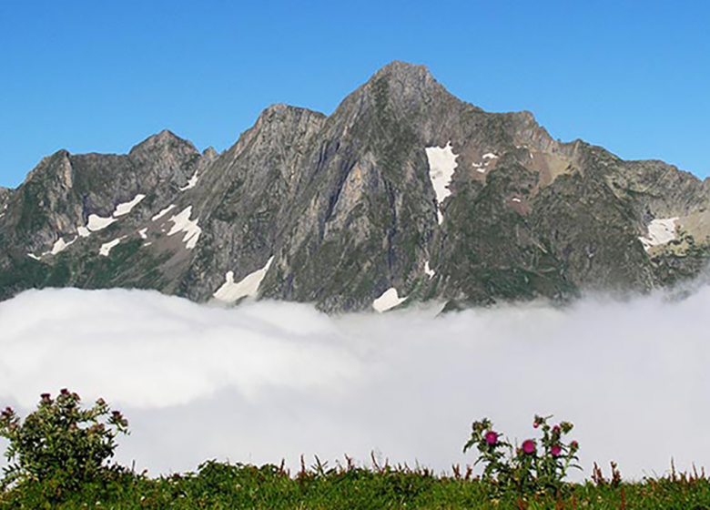
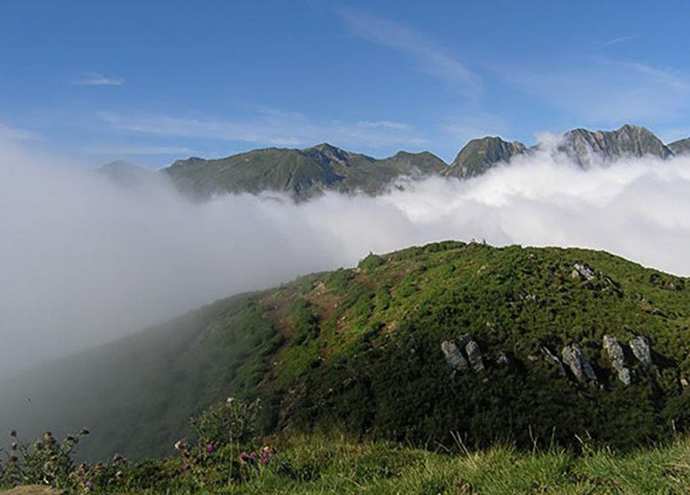
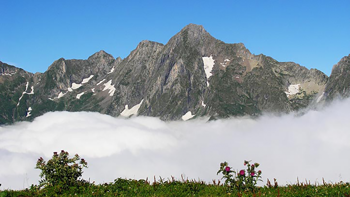
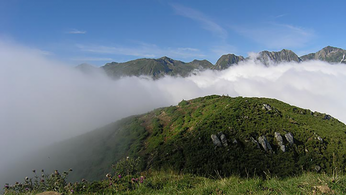
An extraordinary view of Mont Valier and its reserve. Throughout your hike, you will enjoy these magnificent landscapes that will be offered to you.
From Seix, direction Couflens, in Couflens turn right
towards Port d'Aula; after 3,5 km stop at the hamlet of
Lasserre in the hairpin.
Departure 20m.
Ranking & labels
- Circuits of France_circuits
- Registered with the PDIPR
Location
Couserans Pyrenees
On the western part of Ariège, the Couserans and its 18 valleys is a vast territory divided between high mountains, mountains and [...]
Equipments & services
Services
- Pet Friendly
This provider also offers


Your itinerary
Download
Download kml
1
Start of the hike
2
crossing
3
Fonta Peak
4
Break pass
5
End of the hike
1 - Departure of the hike
Follow a good path for more than 500m, which comes out on a flat area (ruins on the left) which you cross diagonally while climbing towards other ruins, you pass between these then on another flat area (with other ruins) .
Turn left (due West) towards a group of beeches; just before the grove, turn right (east) to continue the climb through the broom.
New flat area, left again, more broom then a small ruin, turn right; from there, the trail is steeper heading north, the rest of the climb does not pose any problems up to an altitude of 1760 m. where we find the return junction.
2 - Crossing
Continue the ascent towards the west by a less steep path.
3 - Peak of Fonta
Return by the same route to the crossroads.
4 - Pause pass
Turn right the path is relatively well marked (except in the avalanche corridors), at the edge of the first trees descend by two small bends (careful slippery) then the path resumes its regular descent; the last 500 meters before the Col de Pause are almost flat;
5 - End of the hike
Go down the GR10 on the left which cuts the laces of the track to the place called “Ribe du Prat”, there take the road which is more or less surfaced to your starting point.