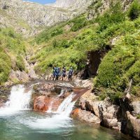


ROAD ACCESS: From Saint-Girons, take the direction of Castillon en Couserans on the D618. Then continue on the D4 to reach Sentein. Continue 5 kilometers after Sentein. Do not turn right in the direction of Eylie and continue straight along the river. Park 350 meters further, in the bocard d'Eylie car park.
Ranking & labels
- Circuits of France_circuits
Location
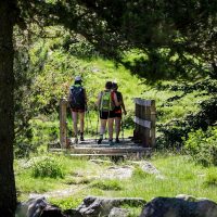
Couserans Pyrenees
Equipments & services
Equipments
- Parking
- Free parking
This provider also offers

