


Elevation 5493 D +
Distance 65 km
- Departure Maison du Valier 09800 Bordes-Uchentein
- LOOP
- Beacon(s) BALISE
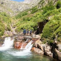
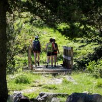
Cross-border route between France and Spain, Ariège and Val d'Aran. This 5-day sports hike leads in the footsteps of smugglers, smugglers and miners who have traveled the mountain.
Pass'Aran is a formidable circuit without borders which allows you to go from Val d'Aran to Ariège. The course, fully marked, requires good physical condition and some experience in reading maps. The route, with grandiose and wild landscapes, crosses several passes that exceed 2400m in altitude. For those who can't get enough of it, they can add the ascent of the great peaks such as Crabère, Mont Valier, Barlonguère or Maubermé. We find the map of the complete circuit in the 5 accommodations.
5 to 10 hours of walking per day with positive elevations of 260 to 1 m and negative elevations of 640m to 310m.
• FEATURES:
5-step loop
Cumulative positive elevation: 5 m
Negative cumulative elevation: 5 m
Highest point: 2880 m
France - Spain cross-border route
About 38 hours of walking over 65km
• 3 POSSIBLE DEPARTURES FROM FRANCE:
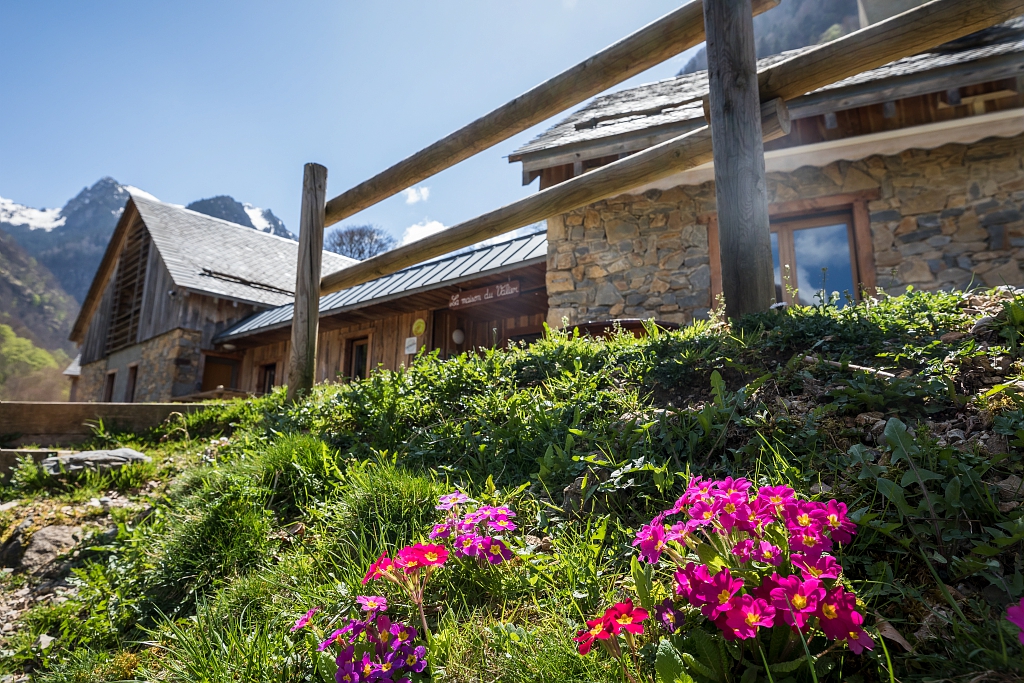
- House of Valier
- La Pucelle car park (municipality of Bonac Irazein)
- Eylie stopover gite
• FAVORABLE PERIOD
Taking into account the snow cover (5 passes which exceed 2400m in altitude) and the periods of guarding of certain shelters, it is advisable to carry out this trek between the end of June and the end of September.
Level of difficulty 5/5: For experienced hikers in the mountains, the length of certain stages requires good physical condition, preparation for hiking over several days and experience in reading maps.
The course crosses 5 passes which exceed 2400m in altitude. These passages are still quite snowy in June or early July and require attention or even the use of ice ax and crampons. Do not hesitate to phone the keepers to find out about the conditions and the snow cover on the passes.
For those who are in doubt, do not hesitate to call on a mountain guide.
Ranking & labels
- Circuits of France_circuits
Location
Couserans Pyrenees
Your itinerary
LA MAISON DU VALIER – GÎTE D’EYLIE
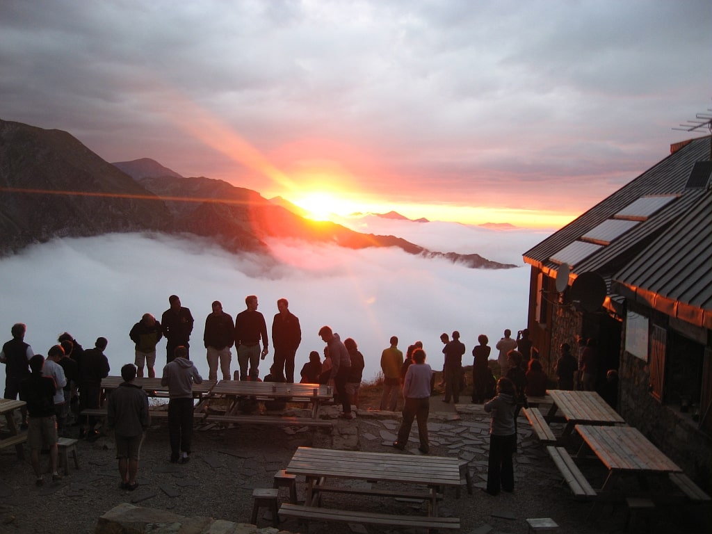
GÎTE D’EYLIE – REFUGE D’ARAING
ARAING REFUGE – AMICS REFUGE OF MONTGARRI
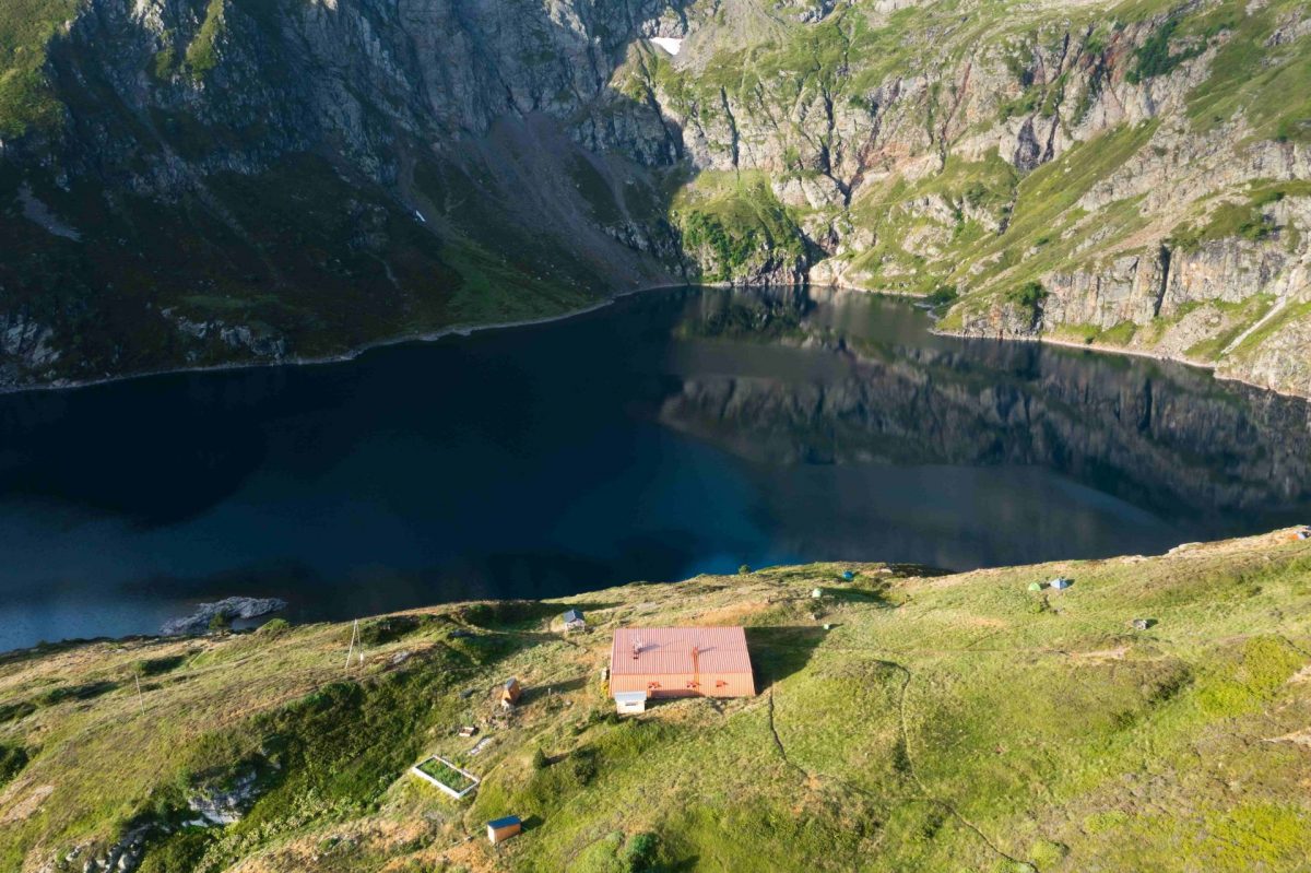
AMICS REFUGE OF MONTGARRI – REFUGE DES ESTAGNOUS
REFUGE DES ESTAGNOUS – GÎTE LA MAISON DU VALIER
1 - THE VALIER HOUSE – EYLIE COTTAGE
Duration: 8h-10h
Distance: 16,7 km
Elevation: +1642m / -1582m
Marking: GR 10
2 - EYLIE COTTAGE – ARAING REFUGE
Duration: 4h-5h
Distance: 7,1 km
Elevation: +1221m / -311m
Marking: GR 10
3 - ARAING REFUGE – AMICS MONTGARRI REFUGE
Duration: 7h-9h
Distance: 19 km
Elevation: +872m / -1072m
Marking: Cairns + GR211
4 - AMICS MONTGARRI REFUGE – ESTAGNOUS REFUGE
Duration: 6h-8h
Distance: 10,9km.
Elevation: +1158m. / -563m.
Marking: GR Transfrontalier
5 - REFUGE DES ESTAGNOUS – COTTAGE LA MAISON DU VALIER
Duration: 5h-6h
Distance: 10,3 km
Elevation: +262m / -1522m
Marking: Chemin de la Liberté + GR 10