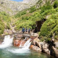
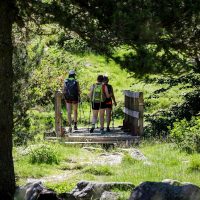


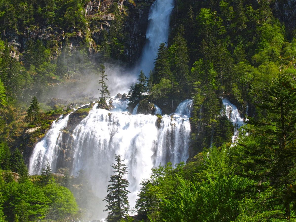
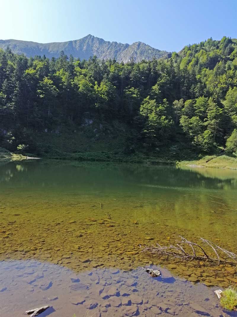
This day hike will take you to the pretty Guzet pond via the sumptuous Ars waterfall, one of the most beautiful natural sites in Haut Couserans.
ROAD ACCESS: From Saint Girons, take the direction of Aulus les Bains. At Oust, continue towards Aulus-Les-Bains via the D32.
Arrived at the village continue on the D8f in the direction of the pond of Lers by the collar of Agnes.
Park at a crossroads with a commemorative stone.
Ranking & labels
- Circuits of France_circuits
Location
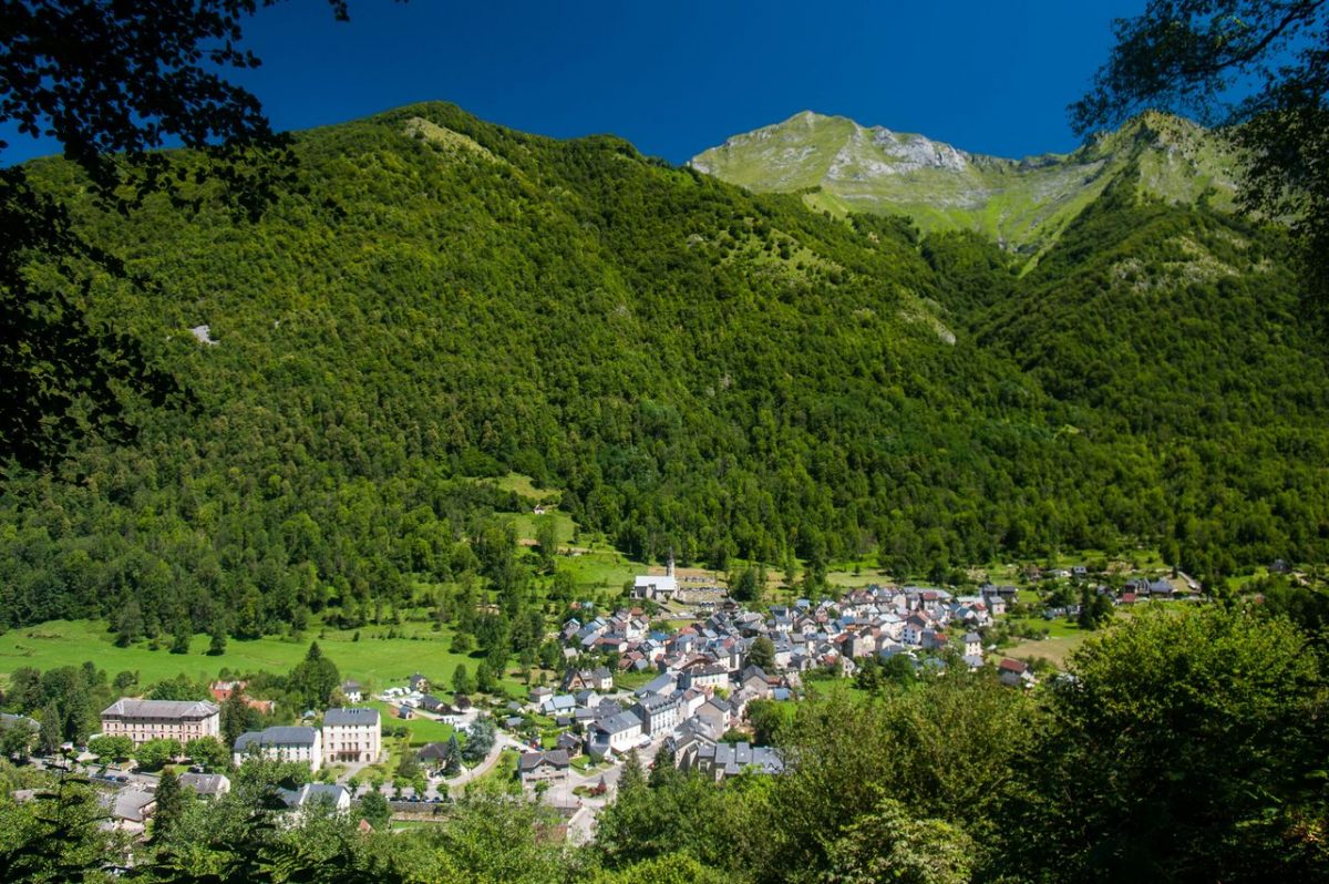
Couserans Pyrenees
On the western part of Ariège, the Couserans and its 18 valleys is a vast territory divided between high mountains, mountains and [...]
Equipments & services
Equipments
- Parking nearby
- Picnic area.
Services
- Pet Friendly
- Hosting
- Catering