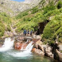
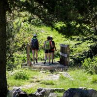


Cross-border route between France and Spain, Ariège and Val d'Aran. This 5-day sports hike leads in the footsteps of smugglers, smugglers and miners who have traveled the mountain.
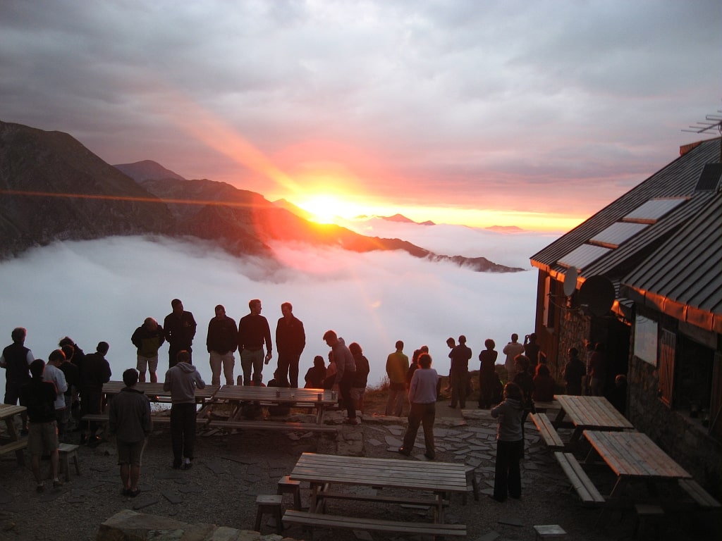
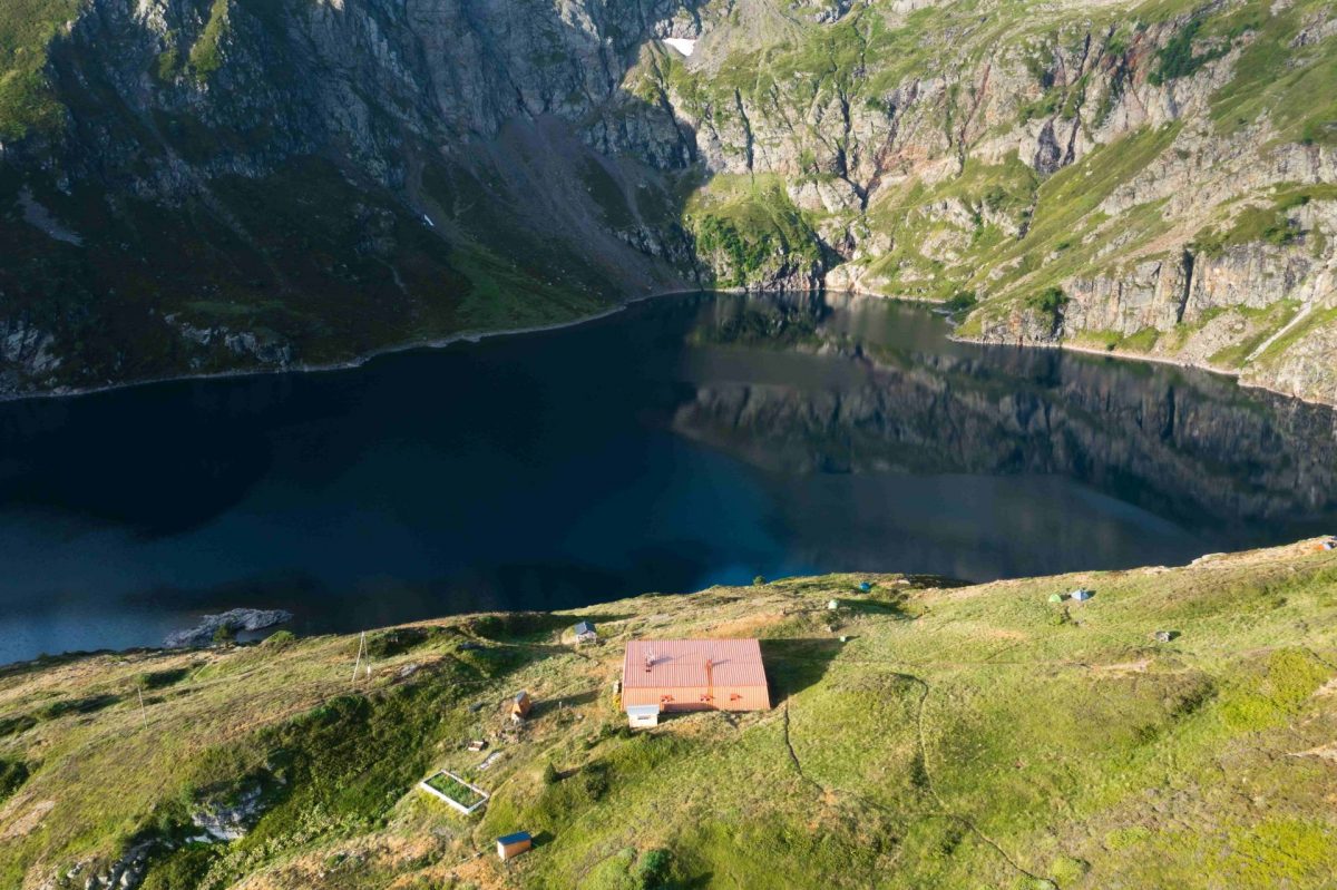
Pass'Aran is a formidable circuit without borders which allows you to go from Val d'Aran to Ariège. The course, fully marked, requires good physical condition and some experience in reading maps. The route, with grandiose and wild landscapes, crosses several passes that exceed 2400m in altitude. For those who can't get enough of it, they can add the ascent of the great peaks such as Crabère, Mont Valier, Barlonguère or Maubermé. We find the map of the complete circuit in the 5 accommodations.
5 to 10 hours of walking per day with positive elevations of 260 to 1 m and negative elevations of 640m to 310m.
• FEATURES:
5-step loop
Cumulative positive elevation: 5 m
Negative cumulative elevation: 5 m
Highest point: 2880 m
France - Spain cross-border route
About 38 hours of walking over 65km
• 3 POSSIBLE DEPARTURES FROM FRANCE:
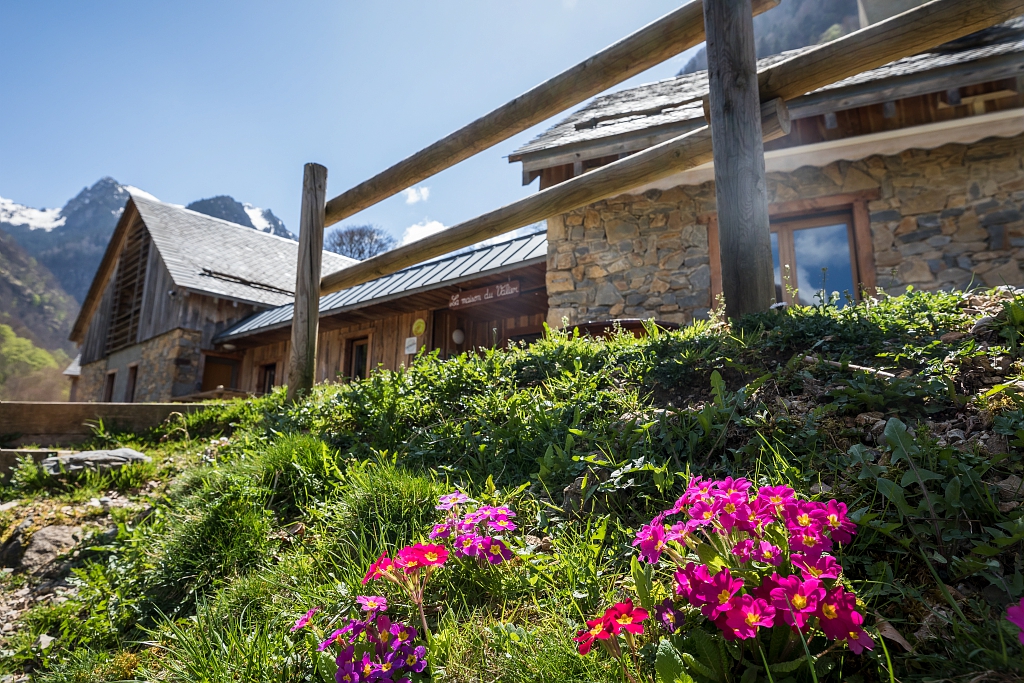
- House of Valier
- La Pucelle car park (municipality of Bonac Irazein)
- Eylie stopover gite
• FAVORABLE PERIOD
Taking into account the snow cover (5 passes which exceed 2400m in altitude) and the periods of guarding of certain shelters, it is advisable to carry out this trek between the end of June and the end of September.
Level of difficulty 5/5: For experienced hikers in the mountains, the length of certain stages requires good physical condition, preparation for hiking over several days and experience in reading maps.
The course crosses 5 passes which exceed 2400m in altitude. These passages are still quite snowy in June or early July and require attention or even the use of ice ax and crampons. Do not hesitate to phone the keepers to find out about the conditions and the snow cover on the passes.
For those who are in doubt, do not hesitate to call on a mountain guide.
Additional Information :
You are in the heart of the Pyrenees Ariégeoises Natural Park. We encourage you to adopt responsible behavior in this fragile and shared environment. - Stay on the trails and take your waste with you. - Observe the flora without picking it. - Remain discreet for wild animals. - In summer pasture areas, remember to close fences and barriers. Do not approach or feed animals. If a Patou (herd protection dog) approaches you, move away slowly and calmly. No big gestures or shouting, even if he barks, because he would consider you a threat. If he follows you, ignore him. - Swimming in lakes is not recommended. Sunscreen (even organic!) and other cosmetics are a source of pollution in this fragile environment. - Bivouac is authorized, but only between 19 p.m. and 9 a.m., and more than an hour's walk from a parking lot. - During periods of drought, all fires are prohibited. In other cases, fires are only authorized more than 200m from a forest. Prefer stoves to natural fireplaces. - In the event of a very unlikely encounter with a bear (which is trying to avoid us at all costs): show yourself calmly, move away gradually, and do not run.
Ranking & labels
- Circuits of France_circuits
Location
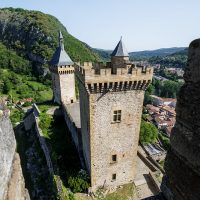
Couserans Pyrenees