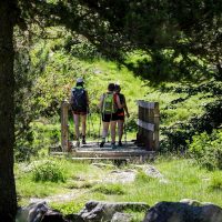


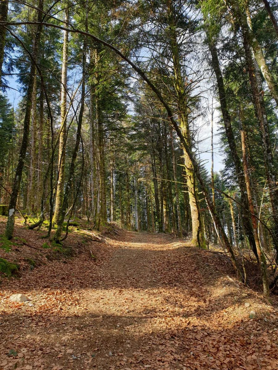
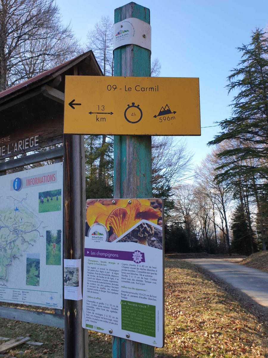
Departure access: Reach the Col des Marrous by the D17 or the D51. Park in the car park at the pass. Departure: Take the paved access to the left of the holiday centre. Join the marked forest path "GRP® of the Tour de la Barguillère in Red and Yellow.
Additional Information :
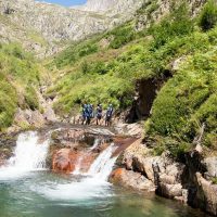
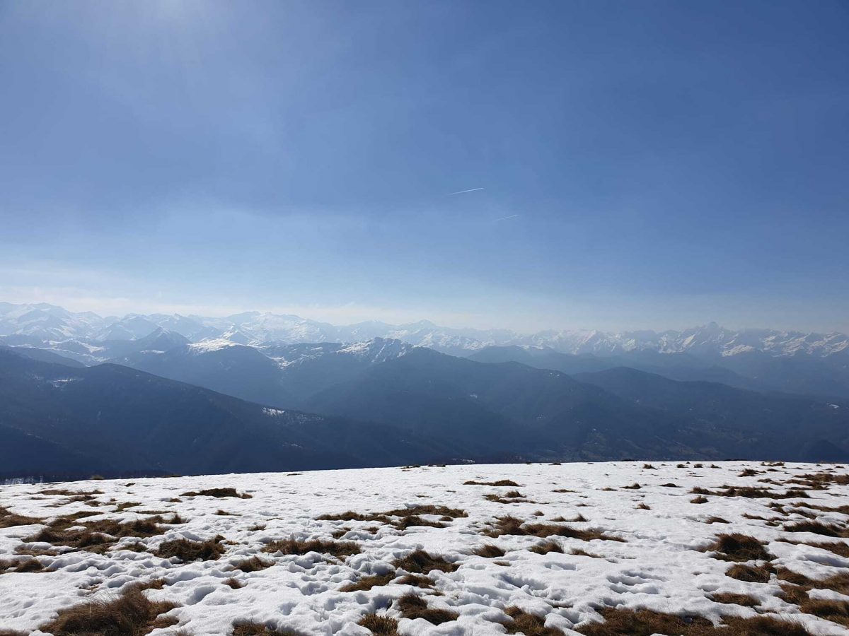
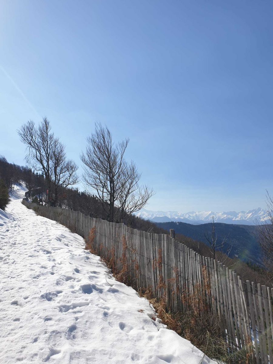
You are in the heart of the Pyrenees Ariégeoises Natural Park. We encourage you to adopt responsible behavior in this fragile and shared environment. - Stay on the trails and take your waste with you. - Observe the flora without picking it. - Remain discreet for wild animals. - In summer pasture areas, remember to close fences and barriers. Do not approach or feed animals. If a Patou (herd protection dog) approaches you, move away slowly and calmly. No big gestures or shouting, even if he barks, because he would consider you a threat. If he follows you, ignore him. - Swimming in lakes is not recommended. Sunscreen (even organic!) and other cosmetics are a source of pollution in this fragile environment. - Bivouac is authorized, but only between 19 p.m. and 9 a.m., and more than an hour's walk from a parking lot. - During periods of drought, all fires are prohibited. In other cases, fires are only authorized more than 200m from a forest. Prefer stoves to natural fireplaces. - In the event of a very unlikely encounter with a bear (which is trying to avoid us at all costs): show yourself calmly, move away gradually, and do not run.
Ranking & labels
- Circuits of France_circuits
Location
Couserans Pyrenees
This provider also offers

The Bastide-de-Serou

The Bastide-de-Serou


Outdoor swimming pool at La Bastide-de-Serou
The Bastide-de-Serou