


Elevation 663 D +
Distance 9 km
- Departure 09140 Aulus-les-Bains
- ROUND TRIP
- Beacon(s) BALISE
ROAD ACCESS:
From Saint Girons, take the D618 towards Oust and continue on the D32 to the village of Aulus les Bains.
In the village, turn right on the D8 towards Col de Latrape/Station de Guzet Neige.
Drive 200 meters and park at the first bend.
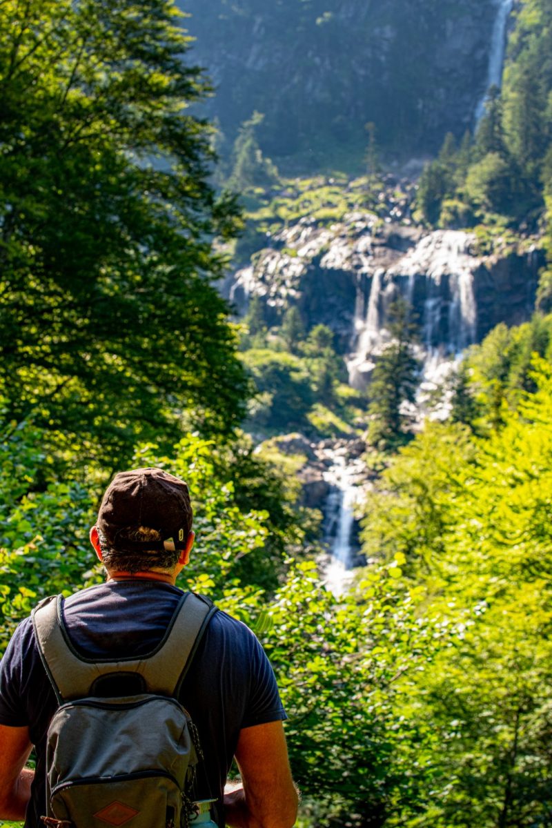
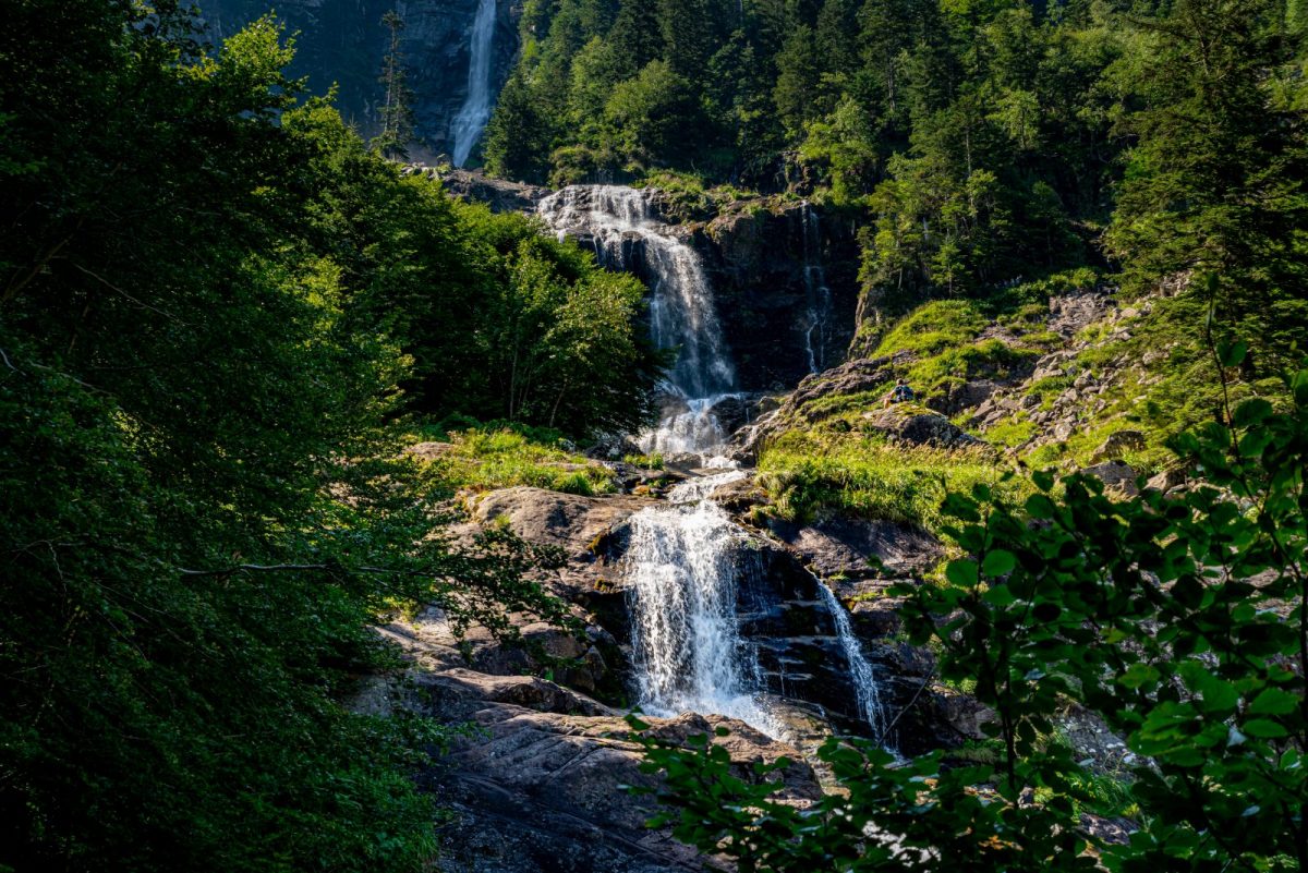
The start of the trail leading to the Ars waterfall is indicated here.
Additional Information :
You are in the heart of the Pyrenees Ariégeoises Natural Park. We encourage you to adopt responsible behavior in this fragile and shared environment. - Stay on the trails and take your waste with you. - Observe the flora without picking it. - Remain discreet for wild animals. - In summer pasture areas, remember to close fences and barriers. Do not approach or feed animals. If a Patou (herd protection dog) approaches you, move away slowly and calmly. No big gestures or shouting, even if he barks, because he would consider you a threat. If he follows you, ignore him. - Swimming in lakes is not recommended. Sunscreen (even organic!) and other cosmetics are a source of pollution in this fragile environment. - Bivouac is authorized, but only between 19 p.m. and 9 a.m., and more than an hour's walk from a parking lot. - During periods of drought, all fires are prohibited. In other cases, fires are only authorized more than 200m from a forest. Prefer stoves to natural fireplaces. - In the event of a very unlikely encounter with a bear (which is trying to avoid us at all costs): show yourself calmly, move away gradually, and do not run.
Ranking & labels
- Circuits of France_circuits
- Recommended in hot weather
- Exceptional view
Location
Couserans Pyrenees
This provider also offers

Aulus les Bains
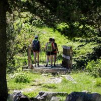
Your itinerary
START OF THE HIKE
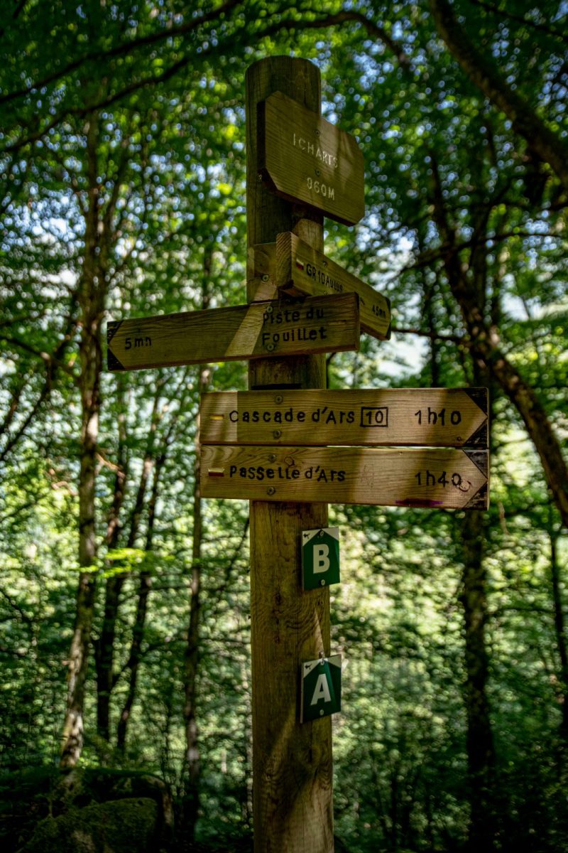
GR10 FORK
ARTIGOUS BRIDGE
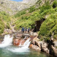
BASE OF THE ARS CASCADE
RETURN
1 - START OF THE HIKE
Leave the first fork on the right and continue straight to reach the crossing with the GR10.
2 - GR10 BIFURCATION
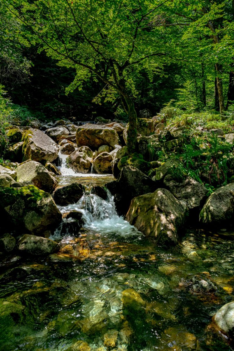
Go along the Ars river to reach the Artigous bridge.