


.
Road Access:
From St-Girons, take the D3 or the D618 towards Massat to Biert.
At the Biert bridge, turn right towards the Col de Saraillé for 2 km then enter Mourès, starting from the church square.
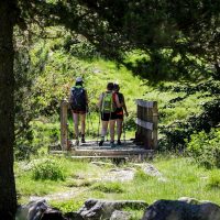
A - Departure from the church square of Mourès (760m), take the road for 50 m along the cemetery. Take the path to the left of
the large statue that runs along the hamlet of Brozi (on the left).
B - When the path divides into three, take the middle path through meadows and woods and cross a final slope which leads to the road
paved (pedestrian and equestrian variant).
Take the road to the right up to the Col de Saraillé (altitude 942 m).
C - Facing the Col, leave the road and take the path towards the south. At the cross where the altitude is 967 m, follow the path which goes down towards the hamlets of Esplas, then Saraillé.
D - Then take the road which goes back down to Biert for 10 minutes, then turn off onto a path on the left to cut a hairpin in the road and
come back again on the paved road that leads to Biert.
E - Leave this road to the left to reach Mourès.
Ranking & labels
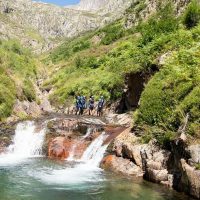
- Outside
- Exceptional view
Location
Couserans Pyrenees
Prices / Opening
Opening
| From January 01 to December 31, 2024 | |
| Monday | Open |
| Tuesday | Open |
| Wednesday | Open |
| Thursday | Open |
| Friday | Open |
| Saturday | Open |
| Sunday | Open |
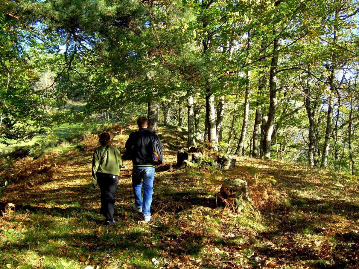
What to do
Customers
- Suitable for beginners
- Blue level - Moderate