


Attention ! The forest trail (5 km) is closed for work until at least the beginning of June.
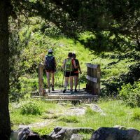
The departure is from the village of Mérens via the GR10. Allow 1h30 more walking time.
The departure is from the village of Mérens via the GR10. Allow 1h30 more walking time.
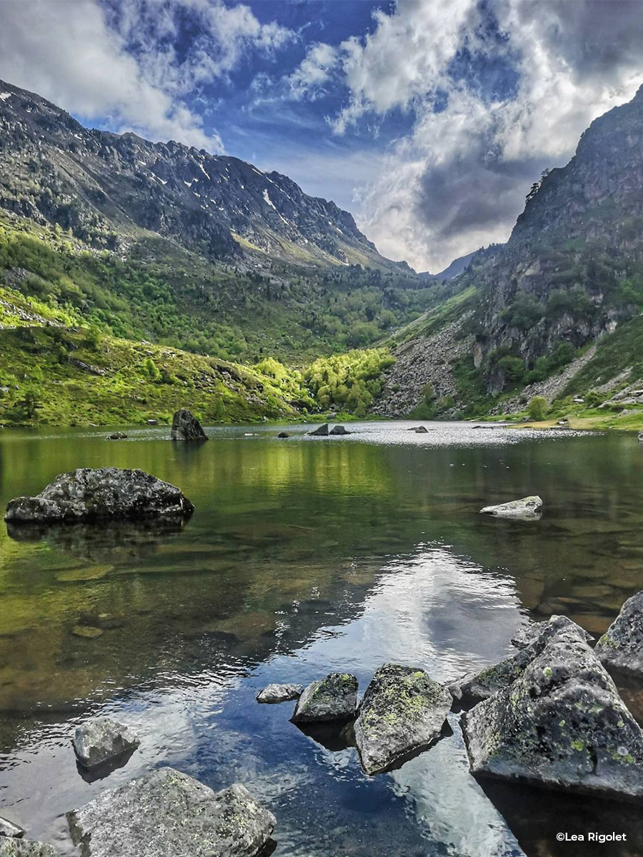
Access Departure: Coming from Ax, follow the RN20 and turn right 700m after Mérens towards the campsite. Cross the Ariège, pass to the left of the campsite and take the road which becomes a forest track. Go up the Mourguilhou valley to the car park.
Ranking & labels
- Registered with the PDIPR
Location
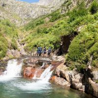
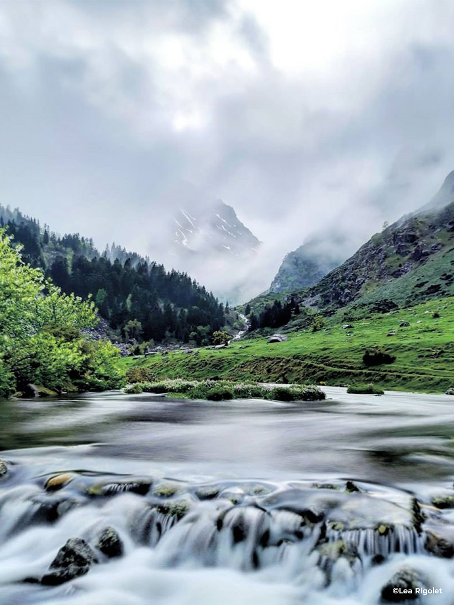
Ariège Pyrenees
South of Ariège, on the border with Andorra, are the Ariège Pyrenees. Between mountainous landscapes and activities, there are many [...]
Equipments & services
Equipments
- Picnic area.
- Parking
- Free parking