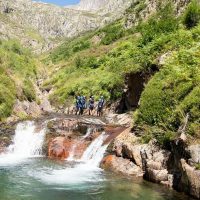
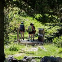


Municipality of Artigues Altitude: 1170 m Location: bordering the Pyrénées-Orientales department and close to Quérigut Number of inhabitants: 55 Distances: Quérigut 4 km-Ax-les-Thermes 32 km Village located on the highest plateaux of Donezan , Artigues is mentioned in texts as early as 1208 and comes from the Latin Artigis, which means cleared land. Perched at an altitude of 1170 m, it is the highest town in the canton, since it includes on its territory the Roc Blanc, lord of the canton, as well as the Pic de Baxouillade, the highest point of Donezan with 2546 m. altitude. It is also through the Laurenti Valley that smugglers allowed many people to flee to Spain to join the Allies during the Second World War. At the start of this Laurenti path, there is the stele commemorating the appeal of June 18, 1940. You can visit there in particular the Church of Artigues, built in 1722, various covered passages, its wash house, or the park at the Bentaïolle sheep farm, above the Étang de Quérigut. In addition, you can discover Orris, which are small shelters built of dry stone that can also be found in the Mediterranean Basin (under other names: bories, capitelles, etc.). Near Artigues, you will find splendid landscapes typical of Donezan such as the Laurenti pond and the Roc Blanc, delighting hikers and the natural discovery of Donezan (see the official site then to the section to see to do and go to trails and hikes). Opening hours of the town hall: Tuesday and Friday: 8:30 a.m. to 12:30 p.m.
Location
Ariège Pyrenees
