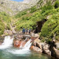
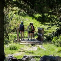


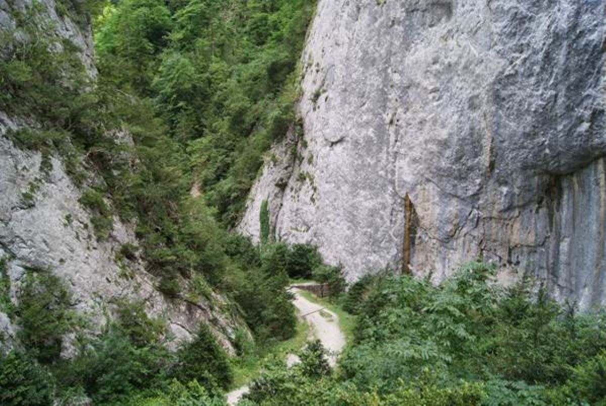
In summer it is an ideal hike offering shade and freshness. The shaded route along this steep path lets you discover the biological reserve. In a bucolic setting, this hike begins with the ascent of the surprising "Gorges de la Frau" where the traces of an old path are still visible, a remnant of an aborted route...
But above all, this walk will invite you to follow the steps taken by the former royal foresters such as the famous Louis de Froidour (forest engineer in the time of Louis XIV). It's been 400 years since this man bound these drills with engraved lilies in order to protect the trees, especially for the famous "Royal" military navy of the Ancien Régime.
Having miraculously escaped the pangs of Revolutions, vandalism and others, these engravings still cover an altitude territory, thus reminding us that the shipwrights of the 17th and 18th centuries used, among other things, Pyrenean woods.
Finally, there will also be a question of the life of the former inhabitants of the "Basqui", whose ruins of the hamlet are still visible.
Note: the Gorges de la Frau are the result of a long geological evolution. The Frau mountain is an accumulation of strongly folded and compressed secondary layers sculpted by glaciations, heavy snowfalls and numerous floods that cut the valley into gorges.
Ranking & labels
- Registered with the PDIPR
Location
Cathar Pyrenees