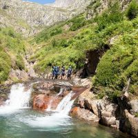
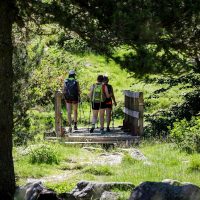
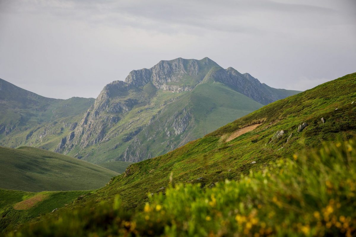
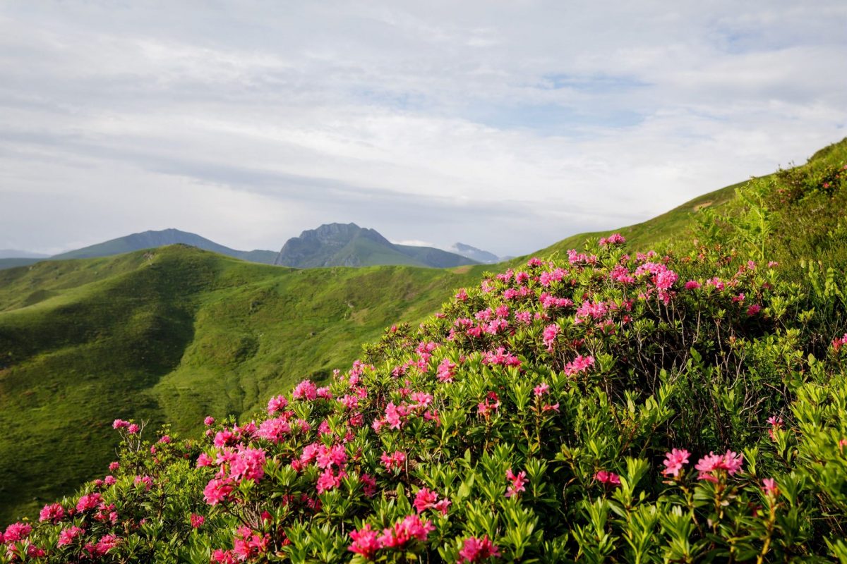
From the Col de Port, go for a pleasant hike without great difficulty, in a sublime setting, combining forest, stream and 360 view of the Pyrenees!
Peak of Estibat
Pic d'Estibat ©Stephane Meurisse - Ariège Pyrénées Tourisme

Starting point: Starting point at the Col de Port from Massat or Tarascon-sur-Ariège.

Ranking & labels

  • Circuits of France_circuits
  • Registered with the PDIPR

Location

Couserans Pyrenees

On the western part of Ariège, the Couserans and its 18 valleys is a vast territory divided between high mountains, mountains and [...]

Learn More

Your itinerary

Map List
Download
Download kml

1 - Port Pass

Start by taking a wide grassy path facing South-South-East for about 300m.

2 - Bifurcation

Turn right at 90° and climb the narrow dirt path to the meadow/forest demarcation (also 300m).

3 - Forest meadow limit

From there, if you are in good shape, head due south for 700m to reach the ridge line oriented North/East, descending from the Pic d'Estibat (choice shown on the route).
If this is not the case, continue on the previous path, and continue to its end.

4 - Peak of the Pic d'Estibat

Turn right. The track is reduced but you are on the ridge line, which must be climbed, heading southwest.

5 - Pic d'Estibat

Arrival at Pic d'Estibat (1663m). An exceptional panorama awaits you with a 360° view of the Pyrenees chain.
The sequence of the circuit is downhill, off-piste because the path is currently covered with vegetation, taking the fence as a landmark on the ridge, or the grass limit on your right, heading West then North/West for 3km.
Do not leave this direction until the pond.
Join the Turon Ner.

6 - Turon Nere

Continue north-west to link up with a regularly dry stream in summer.

7 - Stream

Continue heading West.
Step over the barbed wire when it makes a 90° turn to the left.
Continue your way due West, at times, you will be able to see the roof of the sheepfold.
Follow the stream or the dry channel, to go directly to the pond marked on the map (Gour du Souil) and to a small meadow.

8 - Gour du Souil hut

You will find two tables at your disposal as well as a hut, a pond and the Gour du Souil. It's the perfect spot for a picnic.
From the pond, turn right and continue north-east for 50m arriving in the forest.
You then arrive on a path that makes a 90° bend.
Leave the uphill path on your right and take the left part which descends and leads to the GRP of the Tour du Pic des Trois Seigneurs.

9 - GRP junction of the Tour du Pic des Trois Seigneurs

Take a right onto the GRP.

10 - Intersection towards Cartou

About 800m further on, leave the path that goes to the left towards the hamlet of Cartou and continue straight. The track follows switchbacks and leads you to the Col de Port and the parking lot at the starting point.

11 - Port Pass

The end of the circuit seems obvious, this wide path winding through the forest brings you back to the car park.
Before arriving at the car park, there is a last, often very muddy steep slope on the right which allows you to cut through to reach your car.