


Municipality of Puch Altitude: 830 m Location: bordering the department of Aude and connected to Quérigut, the capital of Donezan, near Pays de Sault Number of inhabitants: 29 Distances: Quérigut 3 km - Ax-les- Thermal baths 60 km Local equivalent of the Languedoc Puèch, Pèch, which means puy, small peak, small mountain, Puch is the smallest village among the 7 others in Donezan, but it offers a remarkable panorama of the canton and the surrounding mountains. The Aude river forms its northern limit and it is in its valley that the lowest altitude of the commune is found (about 830 m). The highest point of Le Puch is to the south-east of the town, at Roc de Quéral (1 m). The village is dominated by the mountain of La Serre, which culminates at 260 m and at the top of which is a telecommunications pylon. In terms of heritage, Le Puch has its Saint-Mathieu Church, or even a municipal rural gîte in the old school. An orientation table also offers a very beautiful view of the Donezan, as well as the small mountain of Montferrant, located between Quérigut and Le Puch. Opening hours of the town hall: Monday and Thursday: 1:248 p.m. to 13:30 p.m.
Location
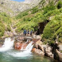
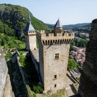
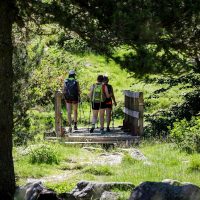
Ariège Pyrenees